Map reading is a skill. Practice it before you need it

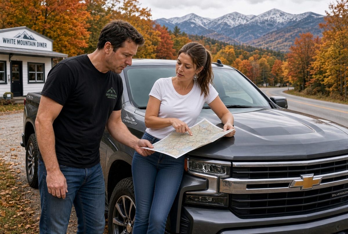
Reading a map is not something you remember from a glance at a phone. You learn which road is the main one, which line is a contour, and which way the water runs. Then you learn it again in the car, with the map on the seat and no app telling you the next turn.
A skill you never practice goes dull. Take it out on an ordinary day. Drive a road you have not taken, fold the sheet to the part you need, and find the turn yourself. The Saturday ride is the training. The day the phone is dead is the test, and you will not rise above the practice you already did.
Keep a map that still works when the phone does not
Maps are essential, and most of us have handed that job to a phone. The phone works only while it has a signal, a battery, and a company willing to answer. Downloading a map, or buying one, is not the same as being able to use it.
Test it on a weekend. Take a fall ride on roads you have not driven. Find a small diner by going into the country you do not already know. If you do not want to spend the money on paper maps, download them free as PDFs and use those. While you are using one, nobody is tracking the drive or selling you an ad along the way.
Put a map in your kit, and put one in the car. Then use them. Map reading is a skill a lot of people have lost, and you get it back by practicing. You fall to the level of your training. Knowing the roads, and knowing another way around, is what gets you where you are going when the usual road is blocked. That can be a closure, a protest, or civil unrest. It is best to be prepared.
Free maps, on your own PC
USGS publishes the topographic sheets at no charge. Ready Center keeps them in the Document Center, on this computer, where they do not need a connection.
- Open topoView.
- Search the town, not the whole state.
- Click 24K and UST. UST is the current US Topo. 24K is the 7.5-minute sheet, about seven miles across.
- Pick the newest date. The same quad name covers a stack of old maps. A 1909 sheet will not show the modern highways.
- Download the GeoPDF and put it in the Ready Center Document Center.
Open it in Adobe Acrobat. Turn on Roads (names and highway shields), Contours, Rivers and lakes, Place names, and a light Shaded relief. Turn the aerial photo off. It hides the roads and prints dark.
One 24K sheet is the neighborhood. For the highways between towns, use 100K and UST, then download that GeoPDF the same way.
USGS turns off the live Imagery Topo web map on November 16, 2026. A GeoPDF you already saved does not use that service. It still opens and prints with the network off.
When the file is in the Document Center, mark the Ready checklist: the map is in the kit.
Credit the sheet to the U.S. Geological Survey.